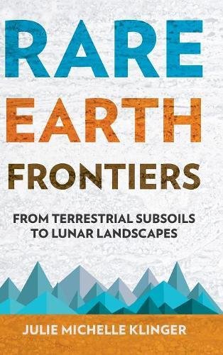
Rare Earth Frontiers: From Terrestrial Subsoils to Lunar Landscapes
by Julie Michelle Klinger
Publisher: Cornell University Press 2018
ISBN-13: 9781501714580
Number of pages: 340
Description:
Owing to their unique magnetic, phosphorescent, and catalytic properties, rare earths are the elements that make possible teverything from the miniaturization of electronics, to the enabling of green energy and medical technologies, to supporting essential telecommunications and defense systems.
Download or read it online for free here:
Download link
(17MB, PDF)
Similar books
 Understanding Earth
by Jack Dangermond, Matt Artz - ESRI
GIS has evolved into a crucial tool for science-based problem solving and decision making. GIS uses the power of information technology to examine geographic knowledge in ways that would be extremely time-consuming and expensive if done manually.
(8925 views)
 Fundamentals of Physical Geography, 2nd Edition
by Michael Pidwirny - PhysicalGeography.net
This online textbook describes an area of knowledge within geography known as physical geography. The book contains over three hundred pages of information, 2-D illustrations, photographs, and animated graphics organized into ten chapters.
(20455 views)
 Antarctica: A Journey of Discovery
by Louise Huffman, Rita Thomas, Erin Carr, Katia Kontar - ANDRILL
Thinking about going to Antarctica? Here are the steps to a smooth trip if you plan to work in the US Antarctic Program (USAP). First, you have to make sure you are physically ready to endure the harsh conditions of the coldest place on Earth.
(13734 views)
 Mapping, Society, and Technology
by Steven Manson - University of Minnesota
Learn how to read, use, and create maps and along the way explore how maps reflect the relationship between society and technology. Mapping is an essential form of scientific and artistic inquiry as well as a trillion dollar business.
(5144 views)